Leveraging Satellite Imagery for Strategic Ocean Monitoring

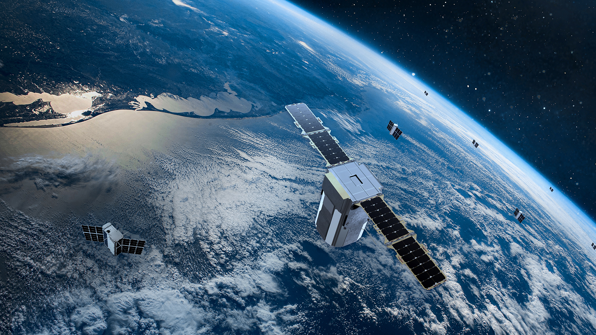
From shipping routes to fisheries and even the weather affecting supply chains, the oceans fuel worldwide commerce. While using only ships and buoys to track something that covers 70% of the earth is not affordable, not scalable. That is when satellite technology steps in to give stakeholders requiring dependable, useful data a revolutionary solution.
Ocean monitoring has gone well beyond lethargic, hand methods thanks to cutting-edge platforms like the Sentinel satellite images and the analytical capacity of OnGeo Intelligence. Leaders in the industry can now get near real-time knowledge on everything from algal blooms endangering aquaculture to changing sea surface temperatures that might upset logistics and insurance systems.
Why Monitor Oceans from the Space?
Traditional ocean data gathering is sluggish, costly, and leaves important gaps. Comprehensive, repeatable coverage from satellites lets companies and authorities remain ahead of chances and threats. Whether its monitoring aberrant temperature rises that point to a supply risk or finding an emerging oil spill before it grabs the news cycle, the capacity to observe from space offers a major competitive edge.
This information is vital for sustainable fisheries, coastal infrastructure planning, disaster readiness, and climate risk management.
Key Business Applications of Satellite Ocean Monitoring
Here is where satellite data gets worthy:
- Sea Surface Temperature (SST): Important to shipping, insurance among other industries. Identification of temperature patterns in advance enables an organization to predict interruptions and risk exposure.
- Algal Bloom Detection: Fisheries and aquaculture require rapid warning so as to reduce the losses. Chlorophyll spikes are seen in the satellite imageries before they strike profits.
- Coastal Erosion & Sea Level Rise: Coastal erosion and changes in sea level impacts the planning of urban infrastructure and the funding associated with it. Satellite records facilitate analysis on the trend and mitigation beforehand.
- Oil Spill Detection: Quick detection provides quick response to the incident that prevents environmental liability and repute.
Sentinel Missions—A Core Asset
Contemporary Earth observation is indebted to its Sentinel missions a part of Copernicus program. As a particular example, Sentinel-2 is essential in terms of monitoring the coast and the ocean. Through multispectral applications, it records vivid images which permits the examination of coastal plant life, sediment swarms and coral reef health.
Sentinel2 is related to land monitoring, but can also be used to understand nearshore ocean dynamics. It will be able to monitor suspended materials and growths of aquatic plants in clear water-which is useful in both conservation and fish farming.
ESA’s Expanded Contributions
Beyond merely deploying satellites, the European Space Agency (ESA) invests in the fundamental science and infrastructure for thorough ocean monitoring. Their cooperation with global partners guarantees standardized, interoperable datasets—so simplifying the integration of ocean intelligence into worldwide activities.
Sentinel Esa works with other satellites like CryoSat and SMO, which adds to the understanding of ocean salinity, sea ice thickness, and wave patterns. These insights support both environmental protection and maritime operations.
Final Thoughts
Satellite pictures provide a strategic advantage in the current environment of quick change and increasing environmental threat rather than simply a technological advancement. From supply chain resilience to legal compliance, the capacity to get timely and accurate ocean data is changing corporate risk management and the capture of fresh opportunities. The part of satellite technology in business continuity and sustainable marine management will only become more important as it keeps developing.


